


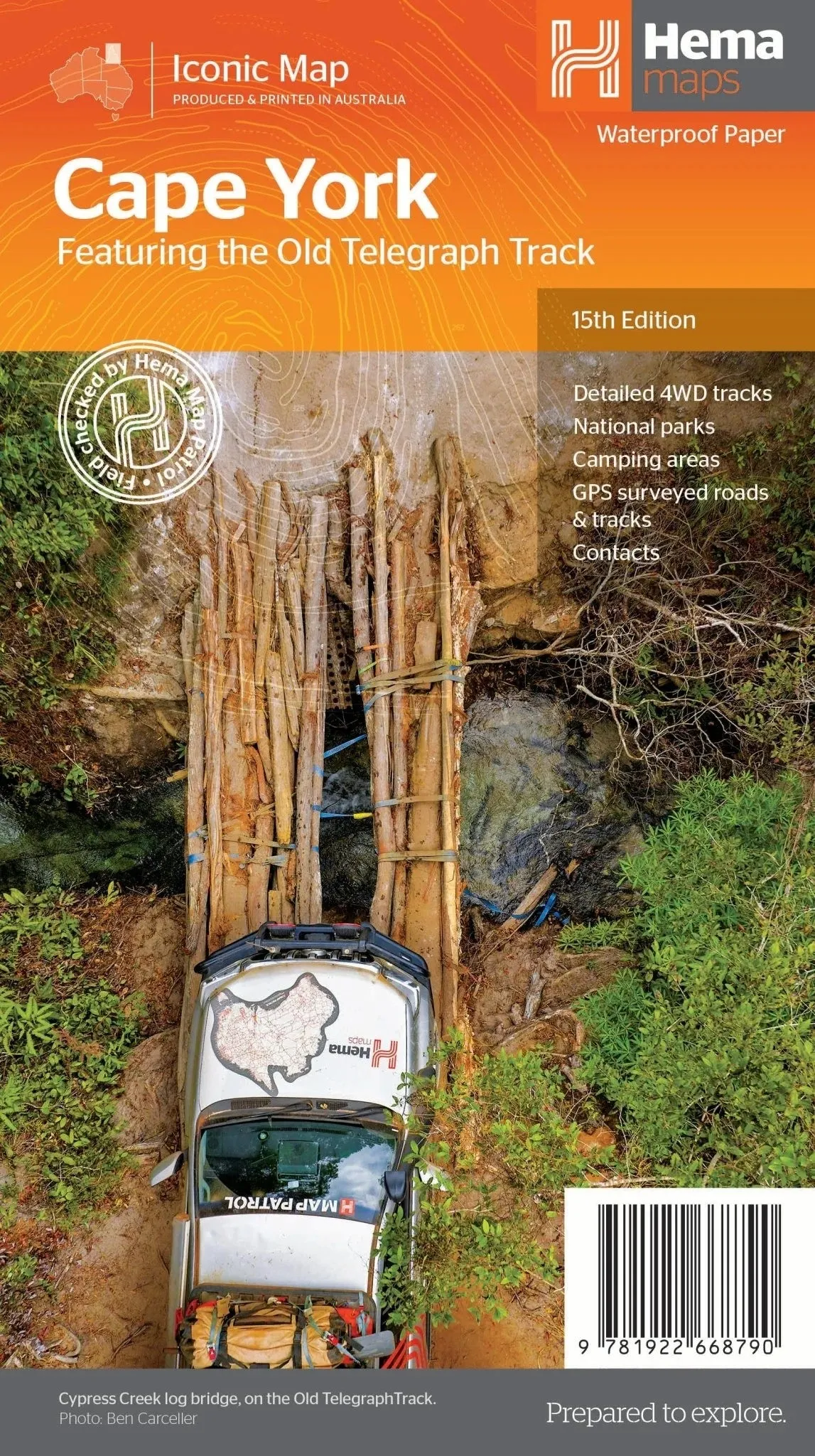
Hema’s Cape York Map (Edition 15)
Embark on the adventure of a lifetime with Hema’s Cape York Map, your ultimate guide to Australia’s northernmost wilderness. Known for its rugged beauty and challenging terrain, Cape York is a destination like no other, and this map ensures you’re fully equipped to explore its iconic tracks, national parks, and remote landscapes.
This 15th edition map is designed with precision and built for durability, printed on waterproof paper to withstand the unpredictable conditions of Cape York. Whether you're tackling the Old Telegraph Track, exploring the new insets for the CREB Track and Rinyirru (Lakefield) National Park, or venturing along the Frenchmans Track, this map provides comprehensive and accurate guidance for your journey.
With detailed coverage of roads, 4WD tracks, camping areas, and national parks, it’s perfect for trip planning and on-the-go navigation. Supplementary information, such as local contact details and distances, ensures you have everything you need for a safe and memorable adventure.
Key Features
- Detailed 4WD tracks including Old Telegraph Track and Frenchmans Track
- Comprehensive national park and camping area details
- GPS-surveyed roads and tracks for precise navigation
- New inset maps for the CREB Track and Rinyirru (Lakefield) National Park
- Local contact information for added convenience
- Durable waterproof paper for outdoor use
Specifications
- Edition: 15th
- Publication Date: 1 September 2023
- Scale: 1:1,000,000
- Folded Size: 140mm x 250mm x 3mm
- Flat Size: 700mm x 1000mm
- Weight: 0.09 kg
Trusted by adventurers, Hema Maps delivers unmatched accuracy and detail for remote travel. Equip yourself with the Cape York Map to navigate its challenging terrain with confidence, discover its stunning natural beauty, and create unforgettable memories on this remarkable journey.


 RJSTH@Fabric#12_10 of 16 RJSTHw2025 RJS")
 By Lalique")
